2018
SK6506 : New housing development, Beeby Road, Scraptoft
taken 6 years ago, near to Scraptoft, Leicestershire, England
This is 1 of 2 images, with title New housing development, Beeby Road, Scraptoft in this square
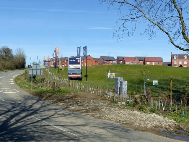
New housing development, Beeby Road, Scraptoft
Together with the Pavilion Road development, this represents a major expansion of the village of Scraptoft.
 Map © Crown Copyright")
TIP: Click the map for more Large scale mapping
- Grid Square
- SK6506, 13 images (more nearby 🔍)
- Photographer
- Alan Murray-Rust (more nearby)
- Date Taken
- Thursday, 5 April, 2018 (more nearby)
- Submitted
- Wednesday, 11 April, 2018
- Subject Location
-
OSGB36:
 SK 6516 0602 [10m precision]
WGS84: 52:38.8806N 1:2.2997W - Camera Location
-
OSGB36: SK 6504 0595
- View Direction
- East-northeast (about 67 degrees)