2018
TQ9694 : Hardstanding, Wallasea Island
taken 6 years ago, 3 km from Burnham-on-Crouch, Essex, England
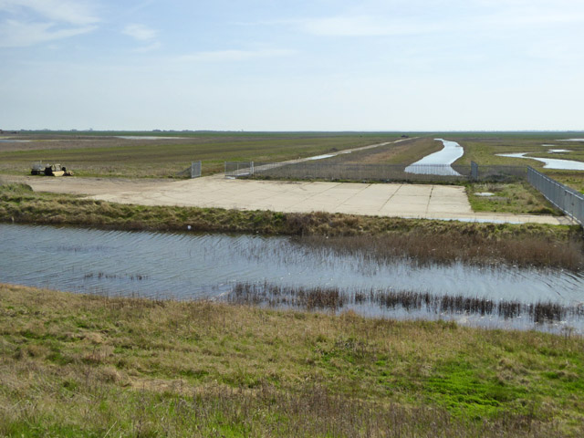
Hardstanding, Wallasea Island
The track into the distance goes to the as-yet still farmed part of the island on the south, Roach, side.
 Map © Crown Copyright")
TIP: Click the map for more Large scale mapping
- Grid Square
- TQ9694, 34 images (more nearby 🔍)
- Photographer
- Robin Webster (more nearby)
- Date Taken
- Friday, 6 April, 2018 (more nearby)
- Submitted
- Wednesday, 11 April, 2018
- Subject Location
-
OSGB36:
 TQ 9601 9439 [10m precision]
WGS84: 51:36.8522N 0:49.7818E - Camera Location
-
OSGB36: TQ 96008 94459
- View Direction
- SOUTH (about 180 degrees)