2018
NY8441 : The valley of Killhope Burn above Low Allers
taken 6 years ago, near to Lanehead, County Durham, England
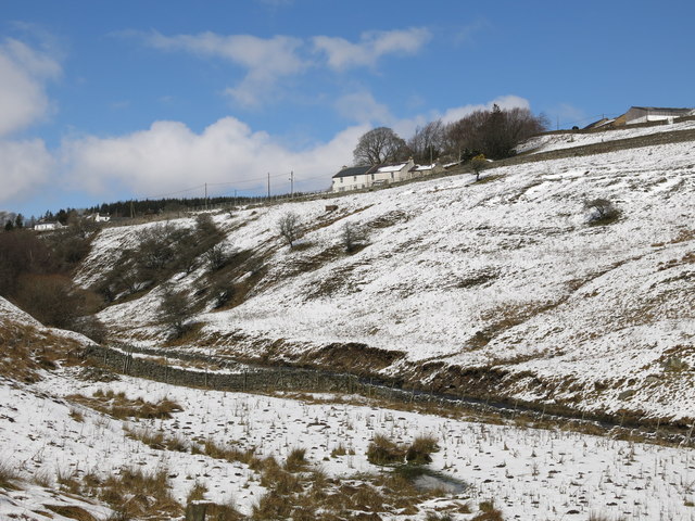
The valley of Killhope Burn above Low Allers
 Map © Crown Copyright")
TIP: Click the map for more Large scale mapping
- Grid Square
- NY8441, 95 images (more nearby 🔍)
- Photographer
- Mike Quinn (more nearby)
- Date Taken
- Thursday, 5 April, 2018 (more nearby)
- Submitted
- Thursday, 12 April, 2018
- Subject Location
-
OSGB36:
 NY 8473 4133 [10m precision]
WGS84: 54:45.9998N 2:14.3311W - Camera Location
-
OSGB36: NY 8486 4109
- View Direction
- North-northwest (about 337 degrees)