2018
NH7349 : Mud Flats by Castle Stuart
taken 6 years ago, near to Newton, Highland, Scotland
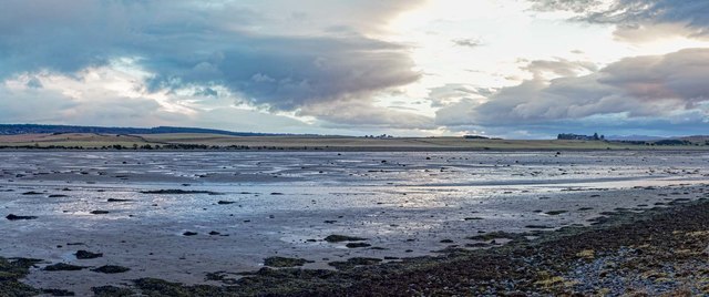
Mud Flats by Castle Stuart
Mudflats exposed by the low tide on the inner Moray Firth
 Map © Crown Copyright")
TIP: Click the map for more Large scale mapping
- Grid Square
- NH7349, 49 images (more nearby 🔍)
- Photographer
- valenta (more nearby)
- Date Taken
- Friday, 16 March, 2018 (more nearby)
- Submitted
- Sunday, 15 April, 2018
- Subject Location
-
OSGB36:
 NH 732 495 [100m precision]
WGS84: 57:31.0929N 4:7.1173W - Camera Location
-
OSGB36: NH 733 497
- View Direction
- Southwest (about 225 degrees)