2018
SY7492 : Footpath following the Roman road
taken 6 years ago, near to Higher Bockhampton, Dorset, England
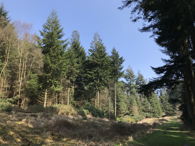
Footpath following the Roman road
 Map © Crown Copyright")
TIP: Click the map for more Large scale mapping
- Grid Square
- SY7492, 14 images (more nearby 🔍)
- Photographer
- don cload (more nearby)
- Date Taken
- Saturday, 14 April, 2018 (more nearby)
- Submitted
- Sunday, 15 April, 2018
- Subject Location
-
OSGB36:
 SY 7418 9245 [10m precision]
WGS84: 50:43.8652N 2:22.0326W - Camera Location
-
OSGB36: SY 7408 9240
- View Direction
- East-northeast (about 67 degrees)