2018
SK5829 : Bunny, Notts
taken 6 years ago, near to Bunny, Nottinghamshire, England
This is 1 of 16 images, with title Bunny, Notts. in this square
Bunny, Notts.
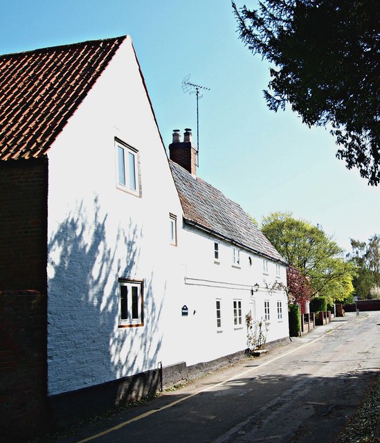
A view along Church Street with the A60 (i.e. the Nottingham-Loughborough Road) in the distance. "The White House", that faces the northern boundary wall of St Mary's graveyard, dates from 1689.
 Map © Crown Copyright")
TIP: Click the map for more Large scale mapping
- Grid Square
- SK5829, 115 images (more nearby 🔍)
- Photographer
- David Hallam-Jones (more nearby)
- Date Taken
- Friday, 20 April, 2018 (more nearby)
- Submitted
- Friday, 20 April, 2018
- Subject Location
-
OSGB36:
 SK 5825 2963 [10m precision]
WGS84: 52:51.6609N 1:8.1758W - Camera Location
-
OSGB36: SK 5825 2963
- View Direction
- EAST (about 90 degrees)