2017
NN8610 : Upper Rhynd
taken 7 years ago, 3 km from Garrick, Perth And Kinross, Scotland
This is 1 of 3 images, with title Upper Rhynd in this square
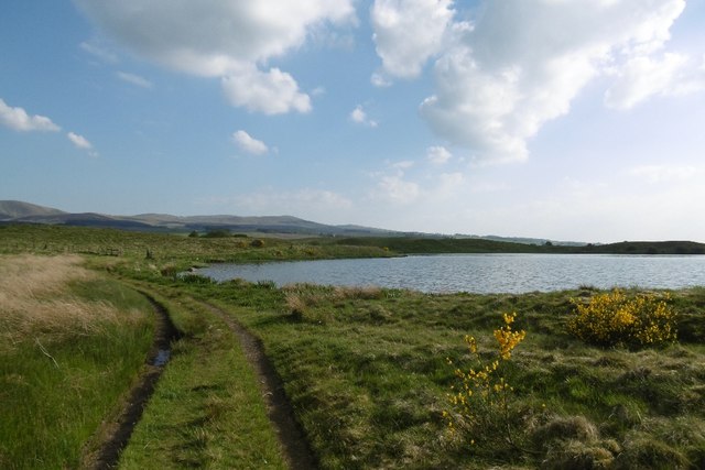
Upper Rhynd
A reservoir in Strathallan's kame and kettle country.
 Map © Crown Copyright")
TIP: Click the map for more Large scale mapping
- Grid Square
- NN8610, 22 images (more nearby 🔍)
- Photographer
- Richard Webb (more nearby)
- Date Taken
- Thursday, 25 May, 2017 (more nearby)
- Submitted
- Saturday, 21 April, 2018
- Subject Location
-
OSGB36:
 NN 8648 1014 [10m precision]
WGS84: 56:16.2074N 3:50.0779W - Camera Location
-
OSGB36: NN 8647 1016
- View Direction
- South-southeast (about 157 degrees)