2018
SE2519 : Path leading to Calder & Hebble Navigation
taken 6 years ago, near to Thornhill Edge, Kirklees, England
This is 1 of 6 images, with title Path leading to Calder & Hebble Navigation in this square
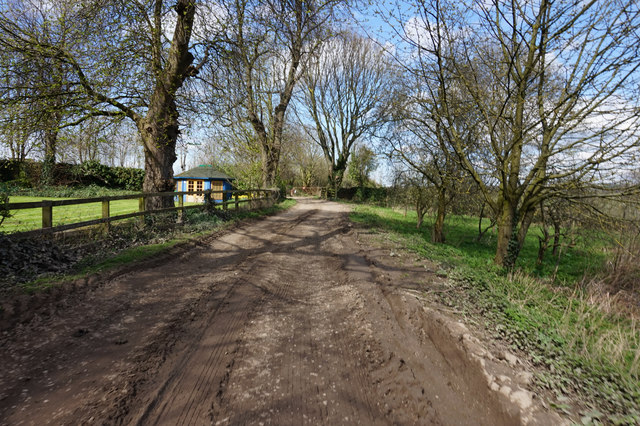
Path leading to Calder & Hebble Navigation
 Map © Crown Copyright")
TIP: Click the map for more Large scale mapping
- Grid Square
- SE2519, 76 images (more nearby 🔍)
- Photographer
- Ian S (more nearby)
- Date Taken
- Wednesday, 18 April, 2018 (more nearby)
- Submitted
- Tuesday, 24 April, 2018
- Subject Location
-
OSGB36:
 SE 2572 1901 [10m precision]
WGS84: 53:40.0165N 1:36.7327W - Camera Location
-
OSGB36: SE 2573 1899
- View Direction
- North-northwest (about 337 degrees)