2018
HT9639 : Burns, Foula
taken 6 years ago, near to Da Toon o Ham, Foula, Shetland Islands, Scotland
This is 1 of 4 images, with title Burns, Foula in this square
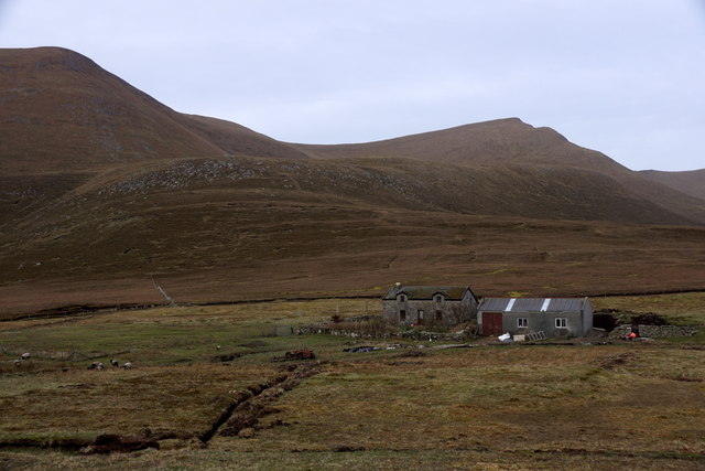
Burns, Foula
 Map © Crown Copyright")
TIP: Click the map for more Large scale mapping
- Grid Square
- HT9639, 31 images (more nearby 🔍)
- Photographer
- Mike Pennington (more nearby)
- Date Taken
- Thursday, 3 May, 2018 (more nearby)
- Submitted
- Saturday, 5 May, 2018
- Subject Location
-
OSGB36:
 HT 9658 3997 [10m precision]
WGS84: 60:8.6534N 2:3.8032W - Camera Location
-
OSGB36: HT 9669 4002
- View Direction
- West-southwest (about 247 degrees)