2018
TM2649 : Former Woodbridge Police Station
taken 6 years ago, near to Woodbridge, Suffolk, England
This is 1 of 3 images, with title Former Woodbridge Police Station in this square
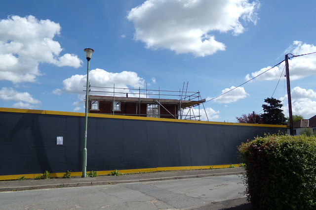
Former Woodbridge Police Station
On the B1079 Grundisburgh Road at the junction with Moor's Way
 Map © Crown Copyright")
TIP: Click the map for more Large scale mapping
- Grid Square
- TM2649, 204 images (more nearby 🔍)
- Photographer
- Geographer (more nearby)
- Date Taken
- Thursday, 3 May, 2018 (more nearby)
- Submitted
- Monday, 7 May, 2018
- Subject Location
-
OSGB36:
 TM 26225 49389 [1m precision]
WGS84: 52:5.7938N 1:18.0815E - Camera Location
-
OSGB36: TM 26200 49400
- View Direction
- East-southeast (about 112 degrees)