2018
NX2299 : Part Of The Former Corn Mill Site
taken 6 years ago, near to Old Dailly, South Ayrshire, Scotland
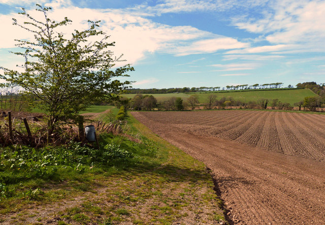
Part Of The Former Corn Mill Site
The tail race from the former Old Dailly Corn Mill ran across this field to rejoin Penwhapple Burn. There's no trace of it now.
 Map © Crown Copyright")
TIP: Click the map for more Large scale mapping
- Grid Square
- NX2299, 64 images (more nearby 🔍)
- Photographer
- Mary and Angus Hogg (more nearby)
- Date Taken
- Monday, 7 May, 2018 (more nearby)
- Submitted
- Saturday, 12 May, 2018
- Subject Location
-
OSGB36:
 NX 2213 9967 [10m precision]
WGS84: 55:15.5410N 4:48.0297W - Camera Location
-
OSGB36: NX 2221 9956
- View Direction
- Northwest (about 315 degrees)