2018
NR1653 : Port Mias-sgeire
taken 6 years ago, near to Claddach, Islay, Argyll And Bute, Scotland
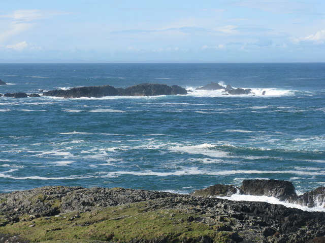
Port Mias-sgeire
With waves breaking on Sgeirean Dubha beyond.
 Map © Crown Copyright")
TIP: Click the map for more Large scale mapping
- Grid Square
- NR1653, 26 images (more nearby 🔍)
- Photographer
- M J Richardson (more nearby)
- Date Taken
- Sunday, 13 May, 2018 (more nearby)
- Submitted
- Wednesday, 16 May, 2018
- Subject Location
-
OSGB36:
 NR 162 530 [100m precision]
WGS84: 55:41.2487N 6:31.0226W - Camera Location
-
OSGB36: NR 163 532
- View Direction
- Southwest (about 225 degrees)