2018
NJ0158 : Forres river gauging station
taken 6 years ago, near to Forres, Moray, Scotland
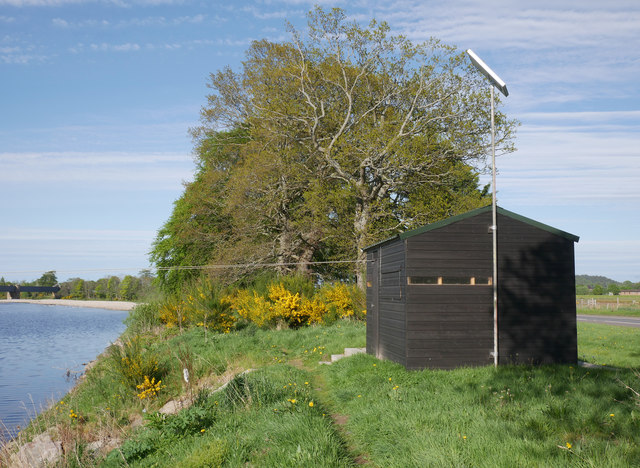
Forres river gauging station
 Map © Crown Copyright")
TIP: Click the map for more Large scale mapping
- Grid Square
- NJ0158, 41 images (more nearby 🔍)
- Photographer
- Craig Wallace (more nearby)
- Date Taken
- Sunday, 13 May, 2018 (more nearby)
- Submitted
- Thursday, 17 May, 2018
- Subject Location
-
OSGB36:
 NJ 0182 5831 [10m precision]
WGS84: 57:36.2444N 3:38.6763W - Camera Location
-
OSGB36: NJ 01807 58308
- View Direction
- East-northeast (about 67 degrees)