2018
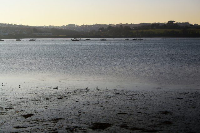
SX4359 : River Tamar
taken 6 years ago, near to Saltash, Cornwall, England
This is 1 of 9 images, with title River Tamar in this square
River Tamar
The Tamar (Cornish: Dowr Tamar) is in south west England, it forms most of the border between Devon and Cornwall.
The Tamar's source is 3 miles from the north Cornish coast, but it flows southward and its course runs across the peninsula to the south coast. The total length of the river is 61 miles. At its mouth, the Tamar flows into the Hamoaze before entering Plymouth Sound. Tributaries of the river include the rivers Inny, Ottery, Kensey and Lynher (or St Germans River) on the Cornish side, and the Deer and Tavy on the Devon side.
See other images of River Tamar
 Map © Crown Copyright")
TIP: Click the map for more Large scale mapping
- Grid Square
- SX4359, 54 images (more nearby 🔍)
- Photographer
- N Chadwick (more nearby)
- Date Taken
- Saturday, 24 February, 2018 (more nearby)
- Submitted
- Saturday, 19 May, 2018
- Subject Location
-
OSGB36:
 SX 4380 5929 [10m precision]
WGS84: 50:24.7595N 4:11.9873W - Camera Location
-
OSGB36: SX 4396 5925
- View Direction
- West-northwest (about 292 degrees)