TA2718 : Middle Farm, Sunk Island
taken 6 years ago, near to Sunk Island, East Riding of Yorkshire, England
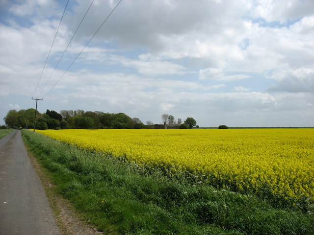
Sunk Island is a Crown Estate village and civil parish three and a half miles (6 kilometres) south of Ottringham and one mile to the north of the Humber Estuary.
The Crown Estate is a semi-independent, incorporated public body which manages an extensive property portfolio. Historically, the Crown Estate properties were administered by the British monarch - hence the name. However, Crown Estate property is not the private property of the reigning monarch and is not administered on their behalf. Revenues or debts are passed to the UK Treasury.
Originally a sand bank in the Humber Estuary, Sunk Island was reclaimed from the Humber over the last 300 years. By the reign of Charles I of England, it was said to form a 7-acre island, one and a half miles from the mainland.From 1663, the land around it was gradually drained, and by the mid-18th century, the channel separating it from the shore had entirely silted up. Today, the Sunk Island Estate covers 11,400 acres, comprising 34 agricultural lettings and 27 residential properties. According to the 2011 UK census, Sunk Island parish had a population of 228, an increase on the 2001 figure of 224.
 Map © Crown Copyright")
- Grid Square
- TA2718, 18 images (more nearby 🔍)
- Photographer
- David Purchase (more nearby)
- Date Taken
- Thursday, 10 May, 2018 (more nearby)
- Submitted
- Wednesday, 23 May, 2018
- Subject Location
-
OSGB36:
 TA 2763 1862 [10m precision]
WGS84: 53:38.9113N 0:4.2345W - Camera Location
-
OSGB36: TA 2732 1884
- View Direction
- Southeast (about 135 degrees)