2018
SK2071 : Through the bridge
taken 6 years ago, near to Great Longstone, Derbyshire, England
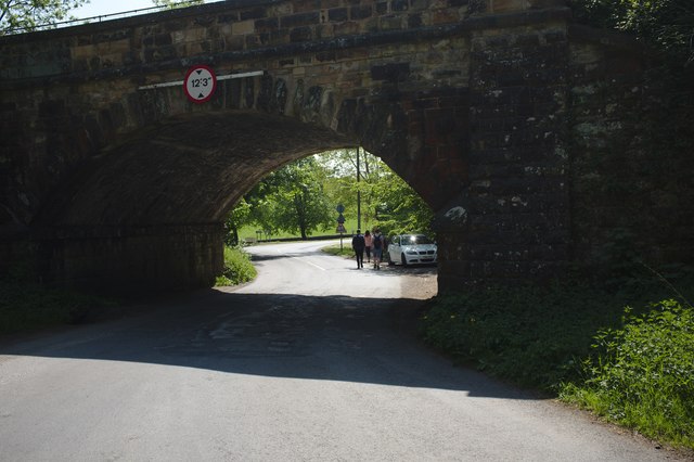
Through the bridge
The Monsal Trail is a traffic free route for walkers, cyclists, horse riders and wheelchair users through some of the Peak District's most spectacular limestone dales.
The trail runs along the former Midland Railway line ( Link ), which closed in 1968, for 8.5 miles between Blackwell Mill SK1172 : The start of The Monsal Trail, in Chee Dale and Coombs Road, at Bakewell.
Most of the route was opened to the public in 1981 but four former railway tunnels had to remain closed due to safety reasons, with public footpaths taking people around them. In 2011 the four railway tunnels - Headstone Tunnel, Cressbrook Tunnel, Litton Tunnel, Chee Tor Tunnel were opened for trail users. Each tunnel is about 400 metres long and will be lit during normal daylight hours.
Wikipedia: Link
See other images of The Monsal Trail (National Network Cycleroute 680)
The trail runs along the former Midland Railway line ( Link
Most of the route was opened to the public in 1981 but four former railway tunnels had to remain closed due to safety reasons, with public footpaths taking people around them. In 2011 the four railway tunnels - Headstone Tunnel, Cressbrook Tunnel, Litton Tunnel, Chee Tor Tunnel were opened for trail users. Each tunnel is about 400 metres long and will be lit during normal daylight hours.
Wikipedia: Link
See other images of The Monsal Trail (National Network Cycleroute 680)
 Map © Crown Copyright")
TIP: Click the map for more Large scale mapping
- Grid Square
- SK2071, 144 images (more nearby 🔍)
- Photographer
- Bob Harvey (more nearby)
- Date Taken
- Sunday, 20 May, 2018 (more nearby)
- Submitted
- Thursday, 24 May, 2018
- Subject Location
-
OSGB36:
 SK 205 710 [100m precision]
WGS84: 53:14.1382N 1:41.5786W - Camera Location
-
OSGB36: SK 206 710
- View Direction
- South-southwest (about 202 degrees)