2018
SK6913 : Leicestershire Round near Gaddesby
taken 6 years ago, near to Gaddesby, Leicestershire, England
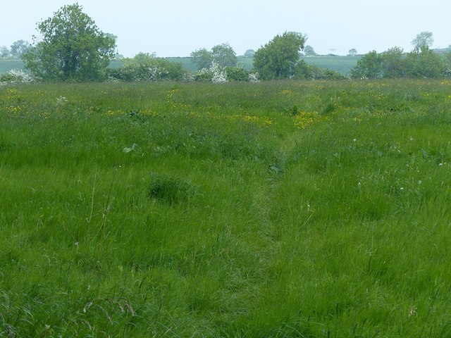
Leicestershire Round near Gaddesby
The next stop will be Frisby-on-the-Wreake.
Leicestershire Round
A 102 mile circuit of the county devised by the Leicestershire Footpath Association (LFA) to celebrate their centenary. The Round encircles Leicester and is within easy reach of the market towns of Oakham, Melton Mowbray, Loughborough, Hinkley and Lutterworth and passes through some of the most beautiful and historically interesting parts of the county including Burrough Hill, Foxton Locks, High Cross, Bosworth battlefield and Charnwood Forest.
 Map © Crown Copyright")
TIP: Click the map for more Large scale mapping
- Grid Square
- SK6913, 57 images (more nearby 🔍)
- Photographer
- Alan Murray-Rust (more nearby)
- Date Taken
- Wednesday, 23 May, 2018 (more nearby)
- Submitted
- Saturday, 26 May, 2018
- Subject Location
-
OSGB36:
 SK 6926 1363 [10m precision]
WGS84: 52:42.9542N 0:58.5684W - Camera Location
-
OSGB36: SK 6923 1356
- View Direction
- North-northeast (about 22 degrees)