2013
SP5465 : Wharf east of Braunston Locks in Northamptonshire
taken 11 years ago, near to Braunston, West Northamptonshire, England
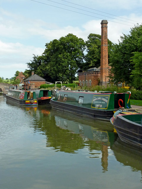
Wharf east of Braunston Locks in Northamptonshire
The pumphouse dates from 1897 and was originally steam powered.
 Map © Crown Copyright")
TIP: Click the map for more Large scale mapping
- Grid Square
- SP5465, 335 images (more nearby 🔍)
- Photographer
- Roger D Kidd (more nearby)
- Date Taken
- Wednesday, 21 August, 2013 (more nearby)
- Submitted
- Wednesday, 30 May, 2018
- Subject Location
-
OSGB36:
 SP 5440 6595 [10m precision]
WGS84: 52:17.3401N 1:12.2324W - Camera Location
-
OSGB36: SP 5435 6595
- View Direction
- EAST (about 90 degrees)