SJ6903 : Blists Hill Victorian Town - May 2018 (4)
taken 6 years ago, near to Coalport, Telford And Wrekin, England
Blists Hill Victorian Town, originally called Blists Hill Open Air Museum, was opened in 1973, and has been slowly growing ever since. Built on a former industrial complex in the Madeley area of Telford, it is one of ten museums operated by the Ironbridge Gorge Museum Trust (Link
).
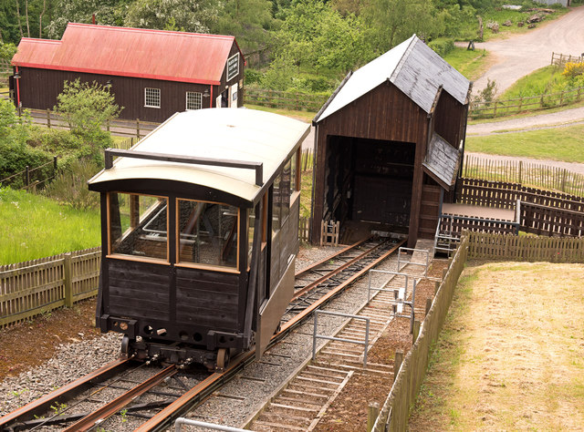
In the 18th and 19th centuries, Blists Hill was an industrial region consisting of a brick and tile works, blast furnaces and coal, iron and fire clay mines. A short section of the Shropshire Canal runs across the site to the Hay Inclined Plane, which transported boats up and down the hill from Blists Hill to Coalport.
Many of the museum's buildings are recreations of buildings which stood in the area, replicas of those still standing elsewhere or original buildings that have been relocated to the museum. There are also features that were already part of the industrial site (eg the brick and tile works, the blast furnaces, Hay Inclined Plane, the canal etc).
More information can be found on the Ironbridge Museums website Link
and this Link
 Map © Crown Copyright")
- Grid Square
- SJ6903, 488 images (more nearby 🔍)
- Photographer
- The Carlisle Kid (more nearby)
- Date Taken
- Monday, 21 May, 2018 (more nearby)
- Submitted
- Friday, 1 June, 2018
- Subject Location
-
OSGB36:
 SJ 695 035 [100m precision]
WGS84: 52:37.7252N 2:27.1048W - Camera Location
-
OSGB36: SJ 695 035