2018
SX7736 : Lane near Vinivers Cross
taken 6 years ago, near to East Prawle, Devon, England
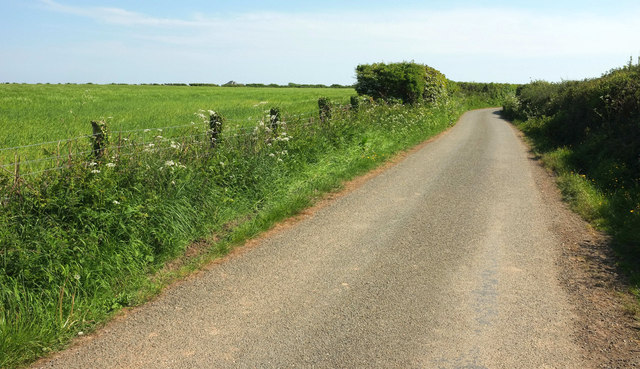
Lane near Vinivers Cross
This lane to East Prawle is followed, at least until the right bend, by the parish boundary between Chivelstone (left) and East Portlemouth.
 Map © Crown Copyright")
TIP: Click the map for more Large scale mapping
- Grid Square
- SX7736, 63 images (more nearby 🔍)
- Photographer
- Derek Harper (more nearby)
- Date Taken
- Tuesday, 22 May, 2018 (more nearby)
- Submitted
- Friday, 1 June, 2018
- Subject Location
-
OSGB36:
 SX 7740 3693 [10m precision]
WGS84: 50:13.1784N 3:43.1924W - Camera Location
-
OSGB36: SX 7739 3695
- View Direction
- South-southeast (about 157 degrees)