2018
TR0860 : Dawes Road, Dunkirk
taken 6 years ago, near to Dargate, Kent, England
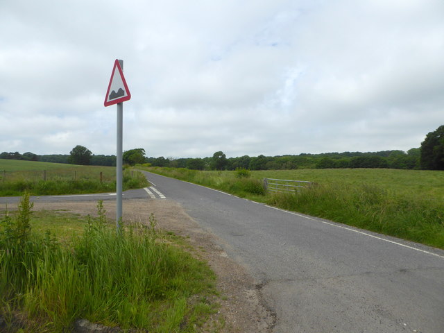
Dawes Road, Dunkirk
At the junction with Courtenay Road.
 Map © Crown Copyright")
TIP: Click the map for more Large scale mapping
- Grid Square
- TR0860, 25 images (more nearby 🔍)
- Photographer
- pam fray (more nearby)
- Date Taken
- Monday, 11 June, 2018 (more nearby)
- Submitted
- Monday, 11 June, 2018
- Subject Location
-
OSGB36:
 TR 0828 6020 [10m precision]
WGS84: 51:18.1681N 0:59.1929E - Camera Location
-
OSGB36: TR 0829 6022
- View Direction
- Southwest (about 225 degrees)