2018
NS2065 : The road to Dykes Farm
taken 6 years ago, near to Skelmorlie, North Ayrshire, Scotland
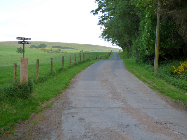
The road to Dykes Farm
Near Barrhill Camp.
 Map © Crown Copyright")
TIP: Click the map for more Large scale mapping
- Grid Square
- NS2065, 34 images (more nearby 🔍)
- Photographer
- Thomas Nugent (more nearby)
- Date Taken
- Friday, 1 June, 2018 (more nearby)
- Submitted
- Wednesday, 13 June, 2018
- Subject Location
-
OSGB36:
 NS 2037 6527 [10m precision]
WGS84: 55:50.8252N 4:52.2471W - Camera Location
-
OSGB36: NS 2034 6530
- View Direction
- Southeast (about 135 degrees)