2018

TR3353 : Footpath sign, The Street

taken 6 years ago, near to Finglesham, Kent, England
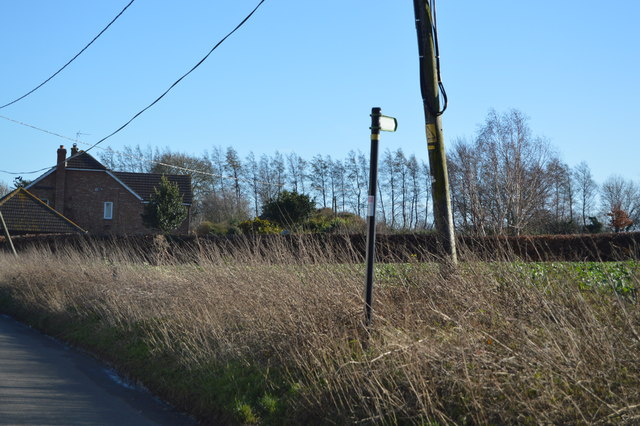
Footpath sign, The Street
Finglesham

Finglesham is a village near Deal in Kent.
The village has a pub.
The village is also on the Miner's Way Trail. The trail links up the coalfield parishes of East Kent.

White Cliffs Country Trail

The White Cliffs Trails were created in 1987 by Dover District Council to link the towns of Dover, Deal and Sandwich, going along the famous 'white cliffs' to the east of Dover to Deal with an inland return through the beautiful Kent countryside. A link from Deal to Northbourne via Sholden and a loop from Sandwich to Northbourne via Eastry provide a range of options.
The routes are marked on OS mapping but have no apparent current publications.


Creative Commons Licence [Some Rights Reserved]   © Copyright N Chadwick and licensed for reuse under this Creative Commons Licence.
Geographical Context: Paths
This photo is linked from: Automatic Clusters: · Street [18] · Footpath [13] ·
1:50,000 Modern Day Landranger(TM) Map © Crown Copyright
+
+
1:50,000 Modern Day Landranger(TM) Map © Crown Copyright
TIP: Click the map for more Large scale mapping
Grid Square
TR3353, 95 images   (more nearby 🔍)
Photographer
N Chadwick   (more nearby)
Date Taken
Thursday, 15 February, 2018   (more nearby)
Submitted
Thursday, 14 June, 2018
Subject Location
OSGB36: geotagged! TR 3375 5370 [10m precision]
WGS84: 51:14.0745N 1:20.8233E
Camera Location
OSGB36: geotagged! TR 3374 5372
View Direction
South-southeast (about 157 degrees)
Clickable map
+
NW N NE
W Go E
SW S SE
Image Type (about): geograph 
This page has been viewed about 20 times
You are not logged in login | register