2018
SJ9594 : Trans Pennine Trail
taken 6 years ago, near to Gee Cross, Tameside, England
This is 1 of 30 images, with title Trans Pennine Trail in this square
Trans Pennine Trail
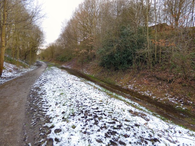
Looking west from Stockport Road. The bridlepath on the right appears to be a quagmire and there seems to be hoofprints in the snow at the side.
 Map © Crown Copyright")
TIP: Click the map for more Large scale mapping
- Grid Square
- SJ9594, 1859 images (more nearby 🔍)
- Photographer
- Gerald England (more nearby)
- Date Taken
- Monday, 12 February, 2018 (more nearby)
- Submitted
- Wednesday, 20 June, 2018
- Subject Location
-
OSGB36:
 SJ 9529 9423 [10m precision]
WGS84: 53:26.6890N 2:4.3427W - Camera Location
-
OSGB36: SJ 9534 9424
- View Direction
- West-southwest (about 247 degrees)