2018
SJ4723 : A wheat field at Myddle
taken 6 years ago, near to Myddle, Shropshire, England
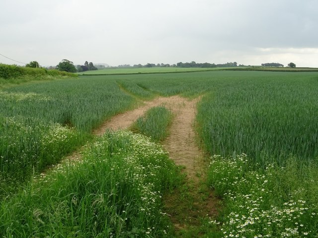
A wheat field at Myddle
A wheat field beside the A528 at Myddle.
 Map © Crown Copyright")
TIP: Click the map for more Large scale mapping
- Grid Square
- SJ4723, 25 images (more nearby 🔍)
- Photographer
- Philip Halling (more nearby)
- Date Taken
- Friday, 1 June, 2018 (more nearby)
- Submitted
- Thursday, 21 June, 2018
- Subject Location
-
OSGB36:
 SJ 4747 2382 [10m precision]
WGS84: 52:48.5613N 2:46.8442W - Camera Location
-
OSGB36: SJ 4739 2385
- View Direction
- East-southeast (about 112 degrees)