2018
SE0623 : Benchmark on #14 Albert Road
taken 6 years ago, near to Sowerby Bridge, Calderdale, England
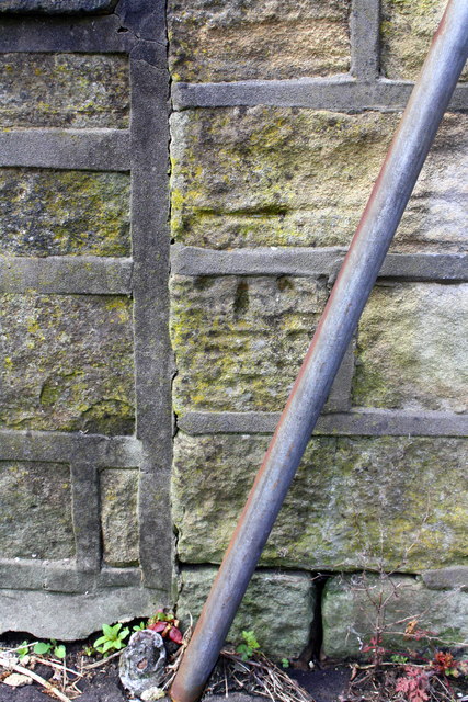
Benchmark on #14 Albert Road
Ordnance Survey cut mark benchmark levelled at 122.268m above Newlyn Datum
 Map © Crown Copyright")
TIP: Click the map for more Large scale mapping
- Grid Square
- SE0623, 419 images (more nearby 🔍)
- Photographer
- Roger Templeman (more nearby)
- Date Taken
- Wednesday, 23 May, 2018 (more nearby)
- Submitted
- Saturday, 30 June, 2018
- Subject Location
-
OSGB36:
 SE 0623 2393 [10m precision]
WGS84: 53:42.7053N 1:54.4253W - Camera Location
-
OSGB36: SE 0623 2393
- View Direction
- Northwest (about 315 degrees)