2018
H3990 : Crop field, Drumnahoe
taken 6 years ago, 4 km E of Victoria Bridge, Co Tyrone, Northern Ireland
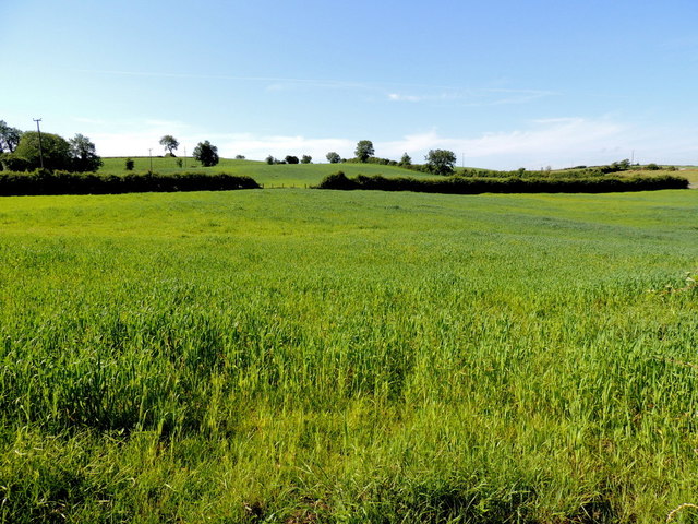
Crop field, Drumnahoe
Pictured along Camus Road, I'm not sure, it could either be corn (maize) or barley
Loading map... (JavaScript required)
- Grid Square
- H3990, 45 images (more nearby 🔍)
- Photographer
- Kenneth Allen (more nearby)
- Date Taken
- Tuesday, 3 July, 2018 (more nearby)
- Submitted
- Tuesday, 3 July, 2018
- Subject Location
-
Irish:
 H 393 905 [100m precision]
WGS84: 54:45.6917N 7:23.3972W - Camera Location
-
Irish: H 393 906
- View Direction
- SOUTH (about 180 degrees)