TF0920 : Construction starts again
taken 6 years ago, near to Bourne, Lincolnshire, England
Land and properties around Wherry's Lane formed part of a significant redevelopment plan once hatched by South Kesteven District Council, the so-called "27 million pound redevelopment" a name it kept through a couple of decades of wildly fluctuating prices and costs. The scheme had a new square behind the existing shops, which the council called a 'piazza', and threatened the existence of the bus station.
No developer mad enough to spend that sort of money could be found, but SKDC had compulsorily purchased several plots and were holding the land. In the end they chose to spend a bit more than 2 million of ratepayer money to realise those assets. A smaller scheme to build new empty shops along Wherry's Lane, and to convert the 19th century grain warehouse at the end into flats was started in the spring of 2012.
The warehouse was built in the early 19th Century as a maltings or brewery owned by the Shilcock family and known as Shilcock's Mill. It was later let to Wherry's, a local family who rose to prominence as seed merchants during the corn trade boom of the 19th century when steam engines transformed the fenland drainage and first the guano, then the chemical fertiliser trade dramatically increased yields. In Living Memory it was owned by another local businessman, the late Mr Ted Moody, for his company Nursery Supplies. Once the largest supplier of grower's necessities, this company closed several years ago, the warehouse was sold on, and later bought by SKDC. It was probably Nursery Supplies who built the cavernous 20th century extension behind the 19th century building: it used post-war materials, like cheap Peterborough brick and asbestos/cement cladding.
The council, in the paperwork for the job, appear to think that it is the warehouse's association with Wherry's that gave rise to the name of the road. They are mistaken. Wherry's Lane as a name predates Silcock's mill. The name comes from the large house that William Wherry built at the other end of the lane in North Street (TF0920 : The back of William Wherry's house). That house has a datestone for 1846 (TF0920 : William Wherry's datestone).
The last commercial use of the commercial building based on Shilcock's Mill was when SKDC rented it to the builders enlarging the nearby Sainsbury's store in 2010. They kept all their expensive machinery locked up in it at night.
The 20th century warehouse, and the similar asbestos building to the North of Wherry's Lane, which for the last generation housed a vehicle body repairers called Freeman's Garage, are being removed as the first step in the redevelopment.
Included in the scheme is the windowless brick cube of the former Masonic Lodge, bought by the Council as part of the earlier plans. There was some controversy when a local web site used the FOI legislation to discover the council paid £137,000. The Masons have built a new lodge elsewhere.
In April 2012 the Stamford Mercury reported the start of work, and predicted work would last until 'spring 2013'
Link
Work was completed (although without doing anything sensible with the landscaped area) in August 2014, and the first of the shops was trading in the first week of September. 2014 ended with no other units having been taken.
Planning guidance for the original monstrous scheme still exists, including a map of the then extent: LinkIt was not without controversy even before it was abandoned: Link
----------------------------------
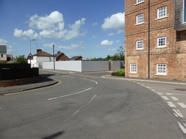
In 2019 work started on a separate project to build housing on the other side of Wherry's Lane, facing the shops
 Map © Crown Copyright")
- Grid Square
- TF0920, 1678 images (more nearby 🔍)
- Photographer
- Bob Harvey (more nearby)
- Date Taken
- Thursday, 14 June, 2018 (more nearby)
- Submitted
- Sunday, 8 July, 2018
- Subject Location
-
OSGB36:
 TF 0944 2030 [10m precision]
WGS84: 52:46.1529N 0:22.7592W - Camera Location
-
OSGB36: TF 09427 20272
- View Direction
- North-northeast (about 22 degrees)