2018
TM5078 : Easton Farm, Easton Bavents, Reydon
taken 6 years ago, near to Reydon, Suffolk, England
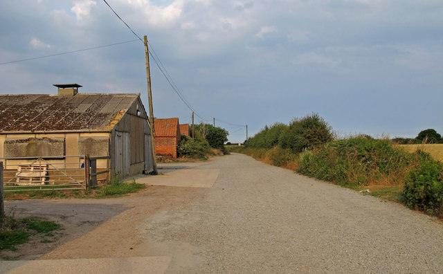
Easton Farm, Easton Bavents, Reydon
The road is marked "private".
Easton Bavents was once a thriving village, at one time extending over a mile east from the current shoreline into the North Sea. Until the C17 most easterly parish in England.
Currently the sea continues to erode the coastline, with agricultural land leading up to the cliff edge.
Easton Bavents was once a thriving village, at one time extending over a mile east from the current shoreline into the North Sea. Until the C17 most easterly parish in England.
Currently the sea continues to erode the coastline, with agricultural land leading up to the cliff edge.
 Map © Crown Copyright")
TIP: Click the map for more Large scale mapping
- Grid Square
- TM5078, 12 images (more nearby 🔍)
- Photographer
- Roger Jones (more nearby)
- Date Taken
- Saturday, 7 July, 2018 (more nearby)
- Submitted
- Monday, 9 July, 2018
- Subject Location
-
OSGB36:
 TM 509 781 [100m precision]
WGS84: 52:20.6166N 1:40.9446E - Camera Location
-
OSGB36: TM 508 781
- View Direction
- EAST (about 90 degrees)