2018
SK1721 : The road up Rangemore Hill
taken 6 years ago, near to Dunstall, Staffordshire, England
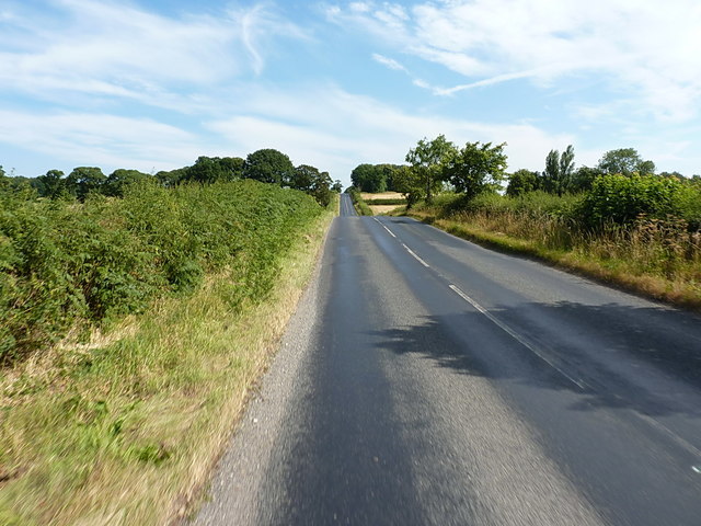
The road up Rangemore Hill
Heading north towards Needwood roundabout.
 Map © Crown Copyright")
TIP: Click the map for more Large scale mapping
- Grid Square
- SK1721, 13 images (more nearby 🔍)
- Photographer
- Richard Law (more nearby)
- Date Taken
- Friday, 6 July, 2018 (more nearby)
- Submitted
- Sunday, 15 July, 2018
- Subject Location
-
OSGB36:
 SK 1759 2111 [10m precision]
WGS84: 52:47.2368N 1:44.4374W - Camera Location
-
OSGB36: SK 17589 21065
- View Direction
- NORTH (about 0 degrees)