2018
TQ8055 : Cherry Tree House, Church Lane
taken 6 years ago, near to Bearsted, Kent, England
This is 1 of 2 images, with title Cherry Tree House, Church Lane in this square
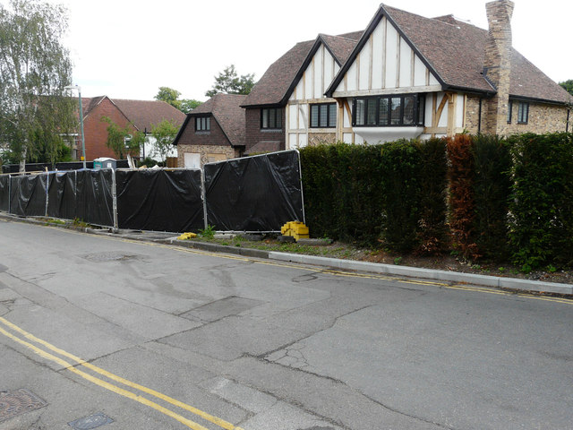
Cherry Tree House, Church Lane
Planning permission was granted by Maidstone Borough Council under application number 16/500334/FULL for the demolition of existing dwelling. Erection of 2 detached dwellings with new access. This was TQ8055 : Cherry Tree House, Church Lane in November 2020.
The former house was called Tremayne.
The former house was called Tremayne.
 Map © Crown Copyright")
TIP: Click the map for more Large scale mapping
- Grid Square
- TQ8055, 107 images (more nearby 🔍)
- Photographer
- John Baker (more nearby)
- Date Taken
- Sunday, 17 June, 2018 (more nearby)
- Submitted
- Tuesday, 17 July, 2018
- Subject Location
-
OSGB36:
 TQ 8001 5567 [10m precision]
WGS84: 51:16.3048N 0:34.7513E - Camera Location
-
OSGB36: TQ 7998 5567
- View Direction
- East-southeast (about 112 degrees)