2018
SX8153 : Track and lane near Allaleigh
taken 6 years ago, near to Allaleigh, Devon, England
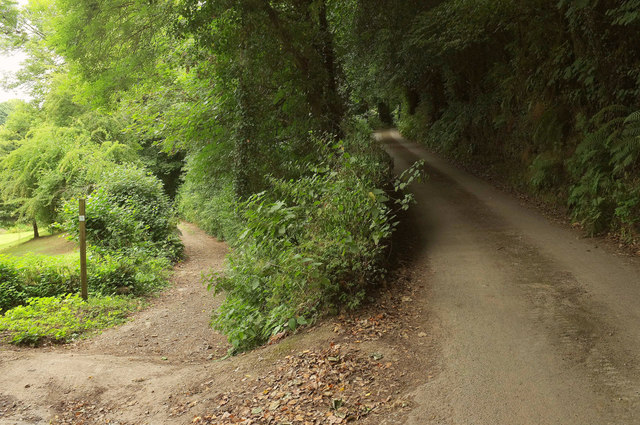
Track and lane near Allaleigh
A route with public access veers away from Allaleigh Lane east of the hamlet, heading down a valley towards Tuckenhay.
 Map © Crown Copyright")
TIP: Click the map for more Large scale mapping
- Grid Square
- SX8153, 53 images (more nearby 🔍)
- Photographer
- Derek Harper (more nearby)
- Date Taken
- Wednesday, 18 July, 2018 (more nearby)
- Submitted
- Monday, 23 July, 2018
- Subject Location
-
OSGB36:
 SX 8116 5372 [10m precision]
WGS84: 50:22.2805N 3:40.3487W - Camera Location
-
OSGB36: SX 8115 5372
- View Direction
- East-northeast (about 67 degrees)