SX4853 : Queen Elizabeth II postbox and a BT phonebox, Lambhay Street, Plymouth
taken 6 years ago, near to Plymouth, England
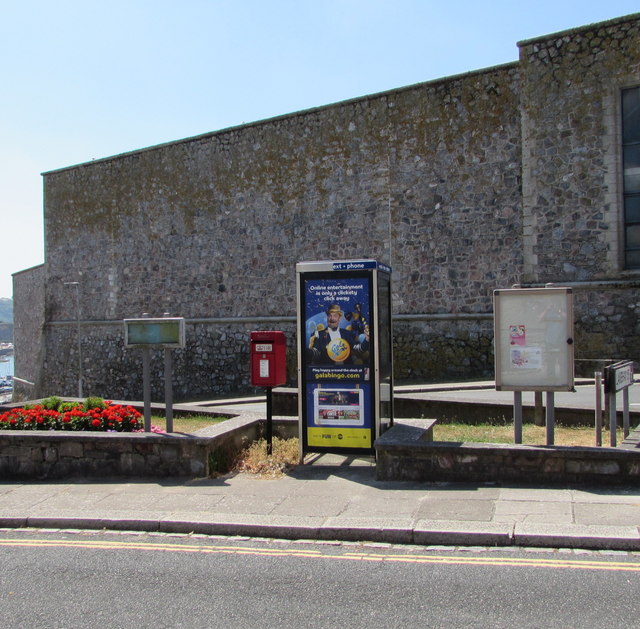
On July 14th 2018 a Gala Bingo advert is on the phonebox.
The Royal Citadel was built in the late 1660s to the design of Sir Bernard de Gomme. It is at the eastern end of Plymouth Hoe overlooking Plymouth Sound, and encompasses the site of the earlier fort that had been built in the time of Sir Francis Drake.
During the Dutch Wars of 1664-67 King Charles II decided that it was necessary to realise the importance of Plymouth as a channel port. The original plan was to build a regular self-contained fort with five bastions, to the west of Drake's Fort, but this was revised to take in the earlier fort, resulting in the Citadel's irregular outline. Possibly due to Plymouth's support for the Parliamentarians in the Civil War its guns could also fire on the town. De Gomme faced some criticism over his unorthodox design: for instance when Samuel Pepys visited in 1683 he wrote that "De Gomme hath built very sillily".
Fisher's Nose Blockhouse, located on its south east corner, dates from 14901540 and was intended to protect the Cattewater. On the opposite bank to Fisher's Nose is the Queen Anne's Battery, dating from 1667.
Work began in March 1665, but it was not until 18 July 1666 that the foundation stone was laid by John Granville, 1st Earl of Bath. This stone, inscribed 'Jo Earle of Bathe 1666', is still in the wall facing the Hoe. Elements from the earlier Tudor fort were incorporated into the new work. The Citadel is built of local limestone, while the English Baroque gateway, designed by Sir Thomas Fitz, is of Portland stone. The gateway was originally approached by a drawbridge over a dry moat, but these were removed with all the other outworks in the 1880s.
The Royal Citadel was the most important English defence for over 100 years, with 70 ft high walls, and was regularly strengthened over the years, particularly during the 1750s when it was equipped with 113 guns.
The Royal Citadel is still occupied by the military, being the base of 29 Commando Regiment of the Royal Artillery. This specialist British Army unit provides artillery support to 3 Commando Brigade of the Royal Marines. Guided tours are sometimes available.
 Map © Crown Copyright")
- Grid Square
- SX4853, 1004 images (more nearby 🔍)
- Photographer
- Jaggery (more nearby)
- Date Taken
- Saturday, 14 July, 2018 (more nearby)
- Submitted
- Monday, 23 July, 2018
- Subject Location
-
OSGB36:
 SX 4820 5393 [10m precision]
WGS84: 50:21.9386N 4:8.1444W - Camera Location
-
OSGB36: SX 4821 5394
- View Direction
- South-southwest (about 202 degrees)