2018
SK1126 : Thorney Lanes descending Rushton's Hill
taken 6 years ago, near to Marchington Woodlands, Staffordshire, England
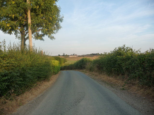
Thorney Lanes descending Rushton's Hill
The street name sign at Gorsty Hill says 'Lane', but the OS and online maps say 'Lanes'.
 Map © Crown Copyright")
TIP: Click the map for more Large scale mapping
- Grid Square
- SK1126, 7 images (more nearby 🔍)
- Photographer
- Christine Johnstone (more nearby)
- Date Taken
- Wednesday, 25 July, 2018 (more nearby)
- Submitted
- Tuesday, 31 July, 2018
- Subject Location
-
OSGB36:
 SK 1187 2685 [10m precision]
WGS84: 52:50.3421N 1:49.5138W - Camera Location
-
OSGB36: SK 1185 2687
- View Direction
- Southeast (about 135 degrees)