2018
TL8647 : Long Melford, Kentwell Hall: The dried up pond
taken 6 years ago, near to Bridge Street, Suffolk, England
This is 1 of 2 images, with title Long Melford, Kentwell Hall: The dried up pond in this square
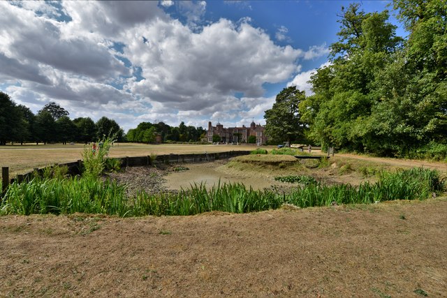
Long Melford, Kentwell Hall: The dried up pond
 Map © Crown Copyright")
TIP: Click the map for more Large scale mapping
- Grid Square
- TL8647, 138 images (more nearby 🔍)
- Photographer
- Michael Garlick (more nearby)
- Date Taken
- Tuesday, 31 July, 2018 (more nearby)
- Submitted
- Friday, 3 August, 2018
- Subject Location
-
OSGB36:
 TL 8641 4782 [10m precision]
WGS84: 52:5.8386N 0:43.2004E - Camera Location
-
OSGB36: TL 8641 4781
- View Direction
- North-northwest (about 337 degrees)