2016
NZ2935 : Farmland, Tursdale
taken 8 years ago, near to Hett, County Durham, England
This is 1 of 2 images, with title starting with Farmland in this square
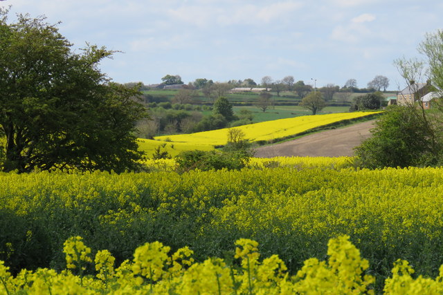
Farmland, Tursdale
View across fields near Tursdale, Broom Hill farm visible extreme right in the middle distance.
 Map © Crown Copyright")
TIP: Click the map for more Large scale mapping
- Grid Square
- NZ2935, 8 images (more nearby 🔍)
- Photographer
- David Robinson (more nearby)
- Date Taken
- Saturday, 14 May, 2016 (more nearby)
- Submitted
- Wednesday, 15 August, 2018
- Subject Location
-
OSGB36:
 NZ 2969 3570 [10m precision]
WGS84: 54:42.9261N 1:32.4392W - Camera Location
-
OSGB36: NZ 2994 3557
- View Direction
- West-northwest (about 292 degrees)