2018
SU0794 : Drain near Cerney Wick
taken 6 years ago, near to Cerney Wick, Gloucestershire, England
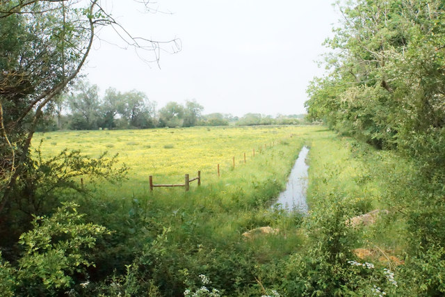
Drain near Cerney Wick
Draining the farmland between the rivers Thames and Churn.
 Map © Crown Copyright")
TIP: Click the map for more Large scale mapping
- Grid Square
- SU0794, 24 images (more nearby 🔍)
- Photographer
- Bill Boaden (more nearby)
- Date Taken
- Saturday, 26 May, 2018 (more nearby)
- Submitted
- Thursday, 16 August, 2018
- Subject Location
-
OSGB36:
 SU 0796 9490 [10m precision]
WGS84: 51:39.1702N 1:53.1804W - Camera Location
-
OSGB36: SU 0796 9489
- View Direction
- Northeast (about 45 degrees)