2018
NT3052 : Field path from Mauldslie
taken 6 years ago, near to Huntly Cot [other Features], Midlothian, Great Britain
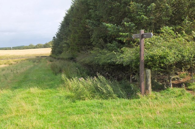
Field path from Mauldslie
A path from Mauldslie to Moorfoot farm, crossing farmland south of Gladhouse Reservoir.
 Map © Crown Copyright")
TIP: Click the map for more Large scale mapping
- Grid Square
- NT3052, 12 images (more nearby 🔍)
- Photographer
- Jim Barton (more nearby)
- Date Taken
- Wednesday, 15 August, 2018 (more nearby)
- Submitted
- Friday, 17 August, 2018
- Subject Location
-
OSGB36:
 NT 3066 5253 [10m precision]
WGS84: 55:45.6679N 3:6.3927W - Camera Location
-
OSGB36: NT 3065 5250
- View Direction
- North-northeast (about 22 degrees)