2018
TG2208 : Approaching St Giles Street from Lower Goat Lane
taken 6 years ago, near to Norwich, Norfolk, England
This is 1 of 22 images, with title starting with Approaching in this square
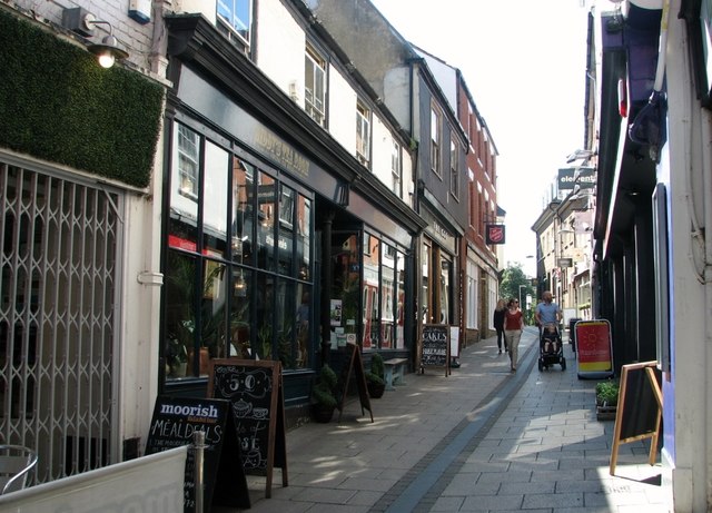
Approaching St Giles Street from Lower Goat Lane
The old name of this lane was Stonegate Magna and the fact that this ancient street may have been paved supports the theory that formed part of a Roman thoroughfare leading from Ber Street to Oak Street. In the 18th and 19th centuries there were a number of pubs in the vicinity with 'goat' in their name.
 Map © Crown Copyright")
TIP: Click the map for more Large scale mapping
- Grid Square
- TG2208, 4039 images (more nearby 🔍)
- Photographer
- Evelyn Simak (more nearby)
- Date Taken
- Friday, 17 August, 2018 (more nearby)
- Submitted
- Saturday, 18 August, 2018
- Subject Location
-
OSGB36:
 TG 2286 0860 [10m precision]
WGS84: 52:37.7625N 1:17.4970E - Camera Location
-
OSGB36: TG 2286 0863
- View Direction
- SOUTH (about 180 degrees)