2018
TM1134 : Restricted Byway to Brooklands Rise
taken 6 years ago, near to Brantham, Suffolk, England
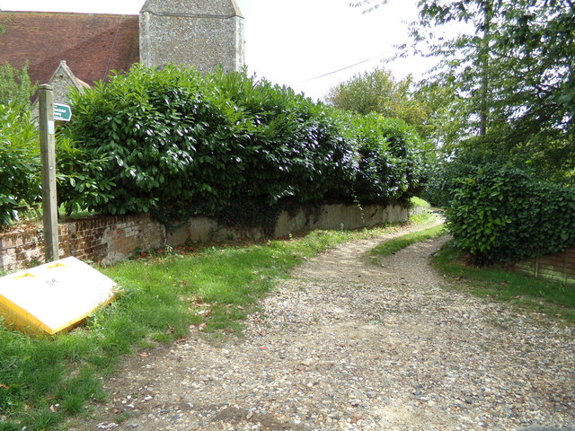
Restricted Byway to Brooklands Rise
Off Church Lane
Near St.Michael the Archangel Church
Near St.Michael the Archangel Church
 Map © Crown Copyright")
TIP: Click the map for more Large scale mapping
- Grid Square
- TM1134, 58 images (more nearby 🔍)
- Photographer
- Geographer (more nearby)
- Date Taken
- Friday, 17 August, 2018 (more nearby)
- Submitted
- Monday, 20 August, 2018
- Subject Location
-
OSGB36:
 TM 11190 34220 [1m precision]
WGS84: 51:57.9792N 1:4.3711E - Camera Location
-
OSGB36: TM 1119 3437
- View Direction
- SOUTH (about 180 degrees)