2018
TM1034 : Church Lane, Brantham
taken 6 years ago, near to Brantham, Suffolk, England
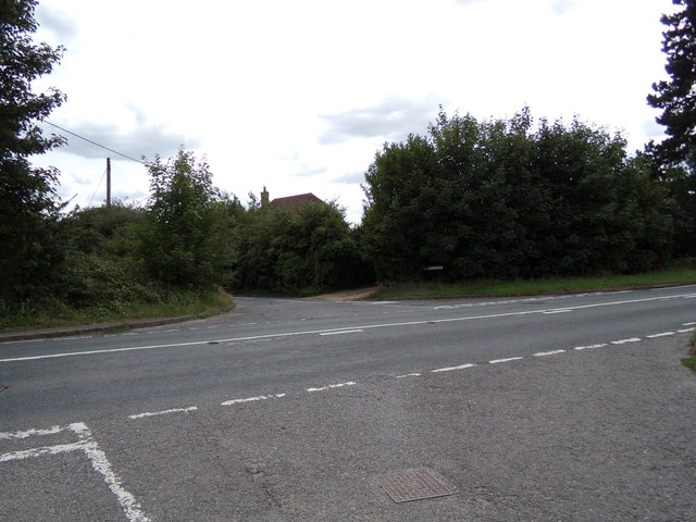
Church Lane, Brantham
At the junction with the A137 Ipswich Road & Gravel Pit Lane
 Map © Crown Copyright")
TIP: Click the map for more Large scale mapping
- Grid Square
- TM1034, 25 images (more nearby 🔍)
- Photographer
- Geographer (more nearby)
- Date Taken
- Friday, 17 August, 2018 (more nearby)
- Submitted
- Monday, 20 August, 2018
- Subject Location
-
OSGB36:
 TM 10996 34523 [1m precision]
WGS84: 51:58.1468N 1:4.2131E - Camera Location
-
OSGB36: TM 10996 34523
- View Direction
- South-southwest (about 202 degrees)