2018
TQ2259 : Rose Bushes
taken 6 years ago, near to Banstead, Surrey, England
This is 1 of 3 images, with title Rose Bushes in this square
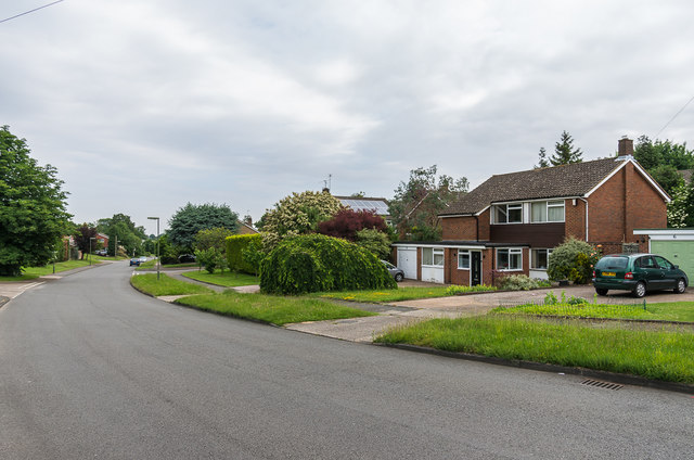
Rose Bushes
1960s housing built on an area of woodland, which was marked on old maps as Rose Bushes, the name being retained for this road and also applied to the whole estate.
 Map © Crown Copyright")
TIP: Click the map for more Large scale mapping
- Grid Square
- TQ2259, 43 images (more nearby 🔍)
- Photographer
- Ian Capper (more nearby)
- Date Taken
- Friday, 8 June, 2018 (more nearby)
- Submitted
- Tuesday, 21 August, 2018
- Subject Location
-
OSGB36:
 TQ 229 590 [100m precision]
WGS84: 51:19.0462N 0:14.1941W - Camera Location
-
OSGB36: TQ 229 590
- View Direction
- Northeast (about 45 degrees)