SK0016 : Rugeley (Penkridge Bank) Camp '3 Lines'- Parade Ground
taken 6 years ago, 3 km from Etchinghill, Staffordshire, England
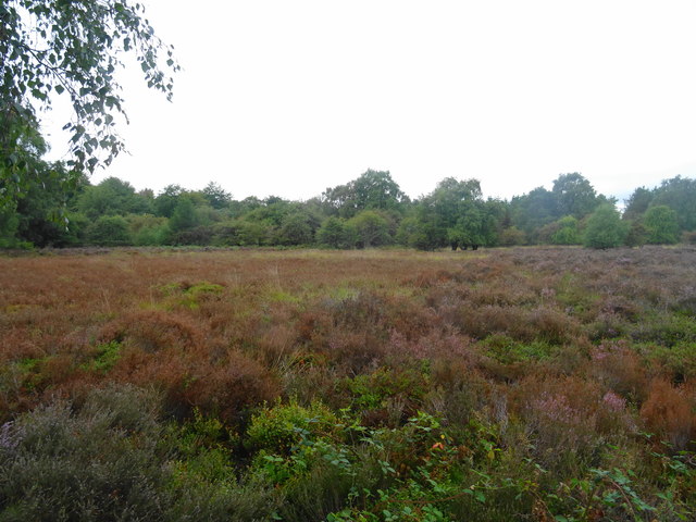
The Chase Through Time is a Heritage Lottery funded project with Staffordshire Council, Historic England and local volunteers to unravel over 2000 years of mans activity across Cannock Chase.
Cannock Chase has a rich history with its Iron Age Camp at Castle Ring, Medieval Hunting Forest, Deer Park and grazed heathland, two Great War Training Camps and post war forestry. Hidden beneath the trees and scrub there is a lot to be found.
As part of the project a LIDAR survey was undertaken of the twenty eight square mile area. Some features have been verified on the ground by the volunteers assisting the Historic England researchers. However, with such a large area only some areas have been visited.
Using the images submitted on Geograph in conjunction with the LIDAR and Historic England mapping on Arcgis should allow a photographic record of the features to be developed by the volunteers.
The combined LIDAR map can be found at Link
 Map © Crown Copyright")
- Grid Square
- SK0016, 46 images (more nearby 🔍)
- Photographer
- John M (more nearby)
- Date Taken
- Tuesday, 21 August, 2018 (more nearby)
- Submitted
- Wednesday, 22 August, 2018
- Subject Location
-
OSGB36:
 SK 001 169 [100m precision]
WGS84: 52:45.0046N 1:59.9441W - Camera Location
-
OSGB36: SK 001 169
- View Direction
- West-southwest (about 247 degrees)