2018
SP7350 : Grand Union Canal Towpath near Blisworth Tunnel
taken 6 years ago, near to Stoke Bruerne, West Northamptonshire, England
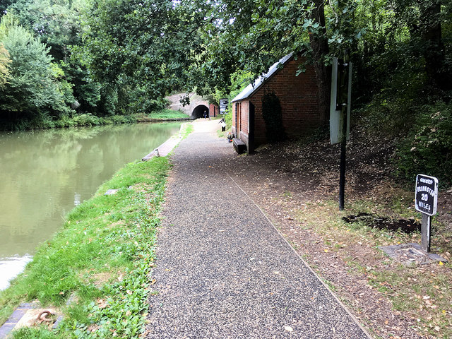
Grand Union Canal Towpath near Blisworth Tunnel
The Grand Union Canal was formed from an amalgamation of several formerly separate canals. Until the 1920s these had been independently owned and operated. The original part of the system was the Grand Junction Canal between Braunston and Brentford, constructed to reduce the route from the Midlands to London by sixty miles. This had locks fourteen feet wide, many branches to major towns and broad beam boats carrying up to seventy tons. Earlier linking canals were built with seven foot wide locks.
The Regent's Canal acquired the Grand Junction and other canals in 1929 and created the new Grand Union Canal Carrying Company (GUCCC). In 1932, with government aid, extensive modernisation was carried out, including the widening of 52 locks between Braunston and Birmingham (Camp Hill), and the demolition and replacement of many 18th and early 19th century bridges; then the money ran out - and the World War II started, so the task was never completed.
Waterways absorbed into the Grand Union Canal Carrying Company include:
London area:
Regent's Canal original company
Hertford Union Canal bought by the Regent's Canal in 1857
Main Line*:
Warwick and Napton Canal bought by the Regent's Canal in 1927
Warwick and Birmingham Canal bought by the Regent's Canal in 1927
Birmingham and Warwick Junction Canal bought by the Regent's Canal in 1927
Grand Junction Canal bought by the Regent's Canal in 1927
Leicester Line:
Old Grand Union Canal bought by the Grand Junction in 1894
Leicestershire and Northamptonshire Union Canal bought by the Grand Junction in 1894
Leicester Navigation bought by the Grand Union in 1932
Loughborough Navigation bought by the Grand Union in 1932
Erewash Canal bought by the Grand Union in 1932
*The current main line starts in London and ends in Birmingham (Digbeth), stretching for 137 miles (220 km) with 166 locks.
For more details, a good start is: Link
See other images of The Grand Union Canal
 Map © Crown Copyright")
TIP: Click the map for more Large scale mapping
- Grid Square
- SP7350, 60 images (more nearby 🔍)
- Photographer
- David Dixon (more nearby)
- Date Taken
- Sunday, 19 August, 2018 (more nearby)
- Submitted
- Sunday, 26 August, 2018
- Subject Location
-
OSGB36:
 SP 739 502 [100m precision]
WGS84: 52:8.7308N 0:55.2789W - Camera Location
-
OSGB36: SP 739 502
- View Direction
- Northwest (about 315 degrees)