2018
SE2718 : Former railway sidings west of Horbury: aerial 2018
taken 6 years ago, near to Ossett, Wakefield, England
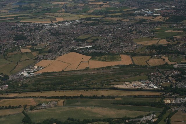
Former railway sidings west of Horbury: aerial 2018
 Map © Crown Copyright")
TIP: Click the map for more Large scale mapping
- Grid Square
- SE2718, 47 images (more nearby 🔍)
- Photographer
- Chris (more nearby)
- Date Taken
- Monday, 2 July, 2018 (more nearby)
- Submitted
- Monday, 27 August, 2018
- Subject Location
-
OSGB36:
 SE 2759 1871 [10m precision]
WGS84: 53:39.8490N 1:35.0363W - Camera Location
-
OSGB36: SE 25416 17157
- View Direction
- Northeast (about 45 degrees)