2018
NH4067 : The Black Water beside the Longart Forest
taken 6 years ago, near to Garbat, Highland, Scotland
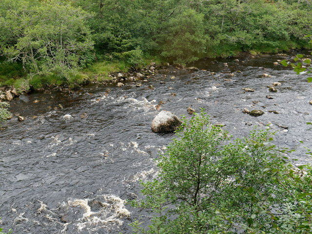
The Black Water beside the Longart Forest
Just a few metres off the A835 road yet most would be oblivious to the river here.
 Map © Crown Copyright")
TIP: Click the map for more Large scale mapping
- Grid Square
- NH4067, 7 images (more nearby 🔍)
- Photographer
- Julian Paren (more nearby)
- Date Taken
- Monday, 27 August, 2018 (more nearby)
- Submitted
- Tuesday, 28 August, 2018
- Subject Location
-
OSGB36:
 NH 4087 6709 [10m precision]
WGS84: 57:39.9286N 4:40.1582W - Camera Location
-
OSGB36: NH 40888 67080
- View Direction
- North-northwest (about 337 degrees)