2018
TA4112 : Western Coast of the Spurn Peninsula
taken 6 years ago, 4 km S of Kilnsea, East Riding of Yorkshire, England
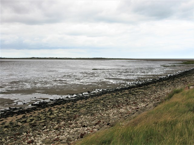
Western Coast of the Spurn Peninsula
The Humber Estuary side of the peninsula.
 Map © Crown Copyright")
TIP: Click the map for more Large scale mapping
- Grid Square
- TA4112, 90 images (more nearby 🔍)
- Photographer
- G Laird (more nearby)
- Date Taken
- Monday, 27 August, 2018 (more nearby)
- Submitted
- Thursday, 30 August, 2018
- Subject Location
-
OSGB36:
 TA 4143 1279 [10m precision]
WGS84: 53:35.5567N 0:8.1244E - Camera Location
-
OSGB36: TA 4136 1251
- View Direction
- North-northeast (about 22 degrees)