SD5428 : Avenham Park
taken 6 years ago, near to Preston, Lancashire, England
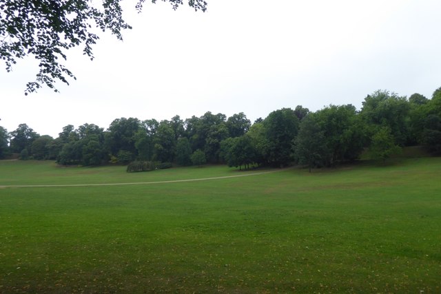
Avenham and Miller Parks are adjoining Parks that lie in the picturesque Avenham valley on the north bank of the River Ribble close to Preston city centre and rank amongst the finest examples of traditional Victorian parkland in the country and are Grade II* listed on the English Heritage Register of Historic Gardens. The parks are separated by the East Lancashire Railway embankment and linked through ornate railway arches.
Both parks were designed and created by the renowned landscape architect Edward Milner during the 1860s. At this time the American civil war was raging and Preston and other North West cotton towns were experiencing a cotton famine due to a shortage of raw material from America. The parks were built as public works to keep cotton workers employed and prevent the social and economic problems associated with high unemployment. Miller Park is named after Thomas Miller (1811-1895) who donated the land to the west of the railway embankmentto Preston Council.
Although the parks were designed by Milner to be a "harmonious whole", his design created two distinct parks. Avenham Park became a romantic style garden whilst Miller Park is more formal in appearance with ornate floral displays. They were opened by HRH the Duke of Cambridge on 3rd October 1867.
Following a successful Heritage Lottery Bid, Avenham and Miller Parks have benefited from a substantial restoration. This project was launched in March2006, with the final phase of the restoration completed in 2014.
LinkAvenham and Miller Parks Leaflet (pdf format), Preston City Council
 Map © Crown Copyright")
- Grid Square
- SD5428, 118 images (more nearby 🔍)
- Photographer
- DS Pugh (more nearby)
- Date Taken
- Tuesday, 24 July, 2018 (more nearby)
- Submitted
- Saturday, 1 September, 2018
- Subject Location
-
OSGB36:
 SD 5400 2870 [10m precision]
WGS84: 53:45.1574N 2:41.9456W - Camera Location
-
OSGB36: SD 54008 28663
- View Direction
- NORTH (about 0 degrees)