2018
SD9481 : Kidstones Scar and Gilbert Lane: aerial 2018
taken 6 years ago, near to Kidstones, North Yorkshire, England
This is 1 of 5 images, with title starting with Kidstones in this square
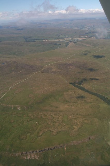
Kidstones Scar and Gilbert Lane: aerial 2018
 Map © Crown Copyright")
TIP: Click the map for more Large scale mapping
- Grid Square
- SD9481, 15 images (more nearby 🔍)
- Photographer
- Chris (more nearby)
- Date Taken
- Wednesday, 4 July, 2018 (more nearby)
- Submitted
- Friday, 7 September, 2018
- Subject Location
-
OSGB36:
 SD 9444 8110 [10m precision]
WGS84: 54:13.5351N 2:5.2068W - Camera Location
-
OSGB36: SD 94874 80427
- View Direction
- North-northwest (about 337 degrees)