2018
NO6698 : Road to West Brathens
taken 6 years ago, near to Brathens, Aberdeenshire, Scotland
This is 1 of 2 images, with title Road to West Brathens in this square
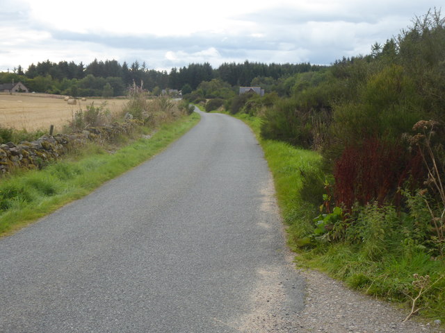
Road to West Brathens
With the Burn of Canny off right.
 Map © Crown Copyright")
TIP: Click the map for more Large scale mapping
- Grid Square
- NO6698, 31 images (more nearby 🔍)
- Photographer
- Stanley Howe (more nearby)
- Date Taken
- Friday, 7 September, 2018 (more nearby)
- Submitted
- Sunday, 9 September, 2018
- Subject Location
-
OSGB36:
 NO 6641 9862 [10m precision]
WGS84: 57:4.6418N 2:33.3426W - Camera Location
-
OSGB36: NO 6683 9864
- View Direction
- WEST (about 270 degrees)